Project Area Background Information
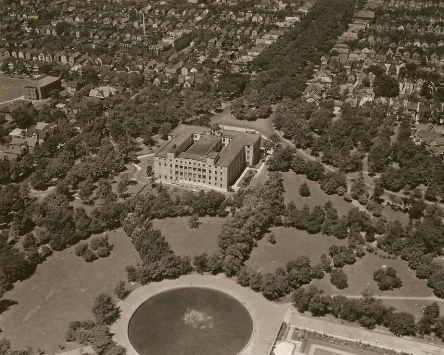
The land use along the project corridor consists of urban residential neighborhoods, generally constructed in the early 1900s. The properties along the Humboldt Parkway are primarily residential in nature, including single and multi-family houses. Several churches and assembly buildings are present, particularly along the block between East Ferry and East Utica Streets. At the southern terminus of the Humboldt Parkway are Martin Luther King, Jr. Park (MLK Park) and the Buffalo Museum of Science.
The original Humboldt Parkway was part of a historic system of parks, parkways, and circles designed by Frederick Law Olmsted and Calvert Vaux in the late 1800s. The Humboldt Parkway was a boulevard with a wide tree-lined median that connected Humboldt Park (now Martin Luther King, Jr. Park) with Delaware Park, creating a park-like neighborhood atmosphere. The boulevard served as a focal point for the adjacent neighborhoods, providing a link between the various local streets and nearby recreational attractions, cultural and religious institutions, and local businesses.
The construction of the NYS Route 33 (Kensington Expressway) in the 1950s and 1960s resulted in the removal of the original Humboldt Parkway landscaped median, which severed several local east-west streets, reducing connectivity between the east and west portions of the neighborhood. Vehicular, pedestrian and bicycle travel over the depressed Kensington Expressway was maintained on five (5) bridges that carry the local street network (East Ferry Street, East Utica Street, Northampton Street, West Parade Street, and Best Street) east and west across the Expressway. The loss of the large landscaped median within the original Humboldt Parkway detracts from the aesthetic character of the neighborhood and limits green space within the corridor. Replacement of the original Humboldt Parkway landscaped median with the depressed Kensington Expressway was not compatible with adjacent land uses.